From seasonal savings to Cyber Week — get cash-saving tips that you won’t want to miss.
Samsung's S95C OLED 4K TV is one of our favorite models on the market, and right now it's more affordable than ever.
The Galaxy S24 Ultra is the best phone in Samsung's non-foldable lineup and now you can get one with a big discount.
If you've been looking for a TV that can hold its own against glare, feast your eyes on these Samsung OLED S95D TV discounts.
Get your hands on this Costco Gold Star membership and you'll get a digital gift card worth $40, offsetting most of the membership price.
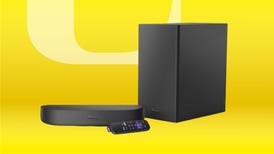
This Roku Streambar and wireless subwoofer bundle is only $150 but it won't stay that way for long.
A smart thermostat is an excellent way to shave some money off those pricey heating bills.
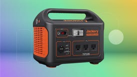
This portable power station is back down to the lowest price we’ve seen, so grab one before it's too late.
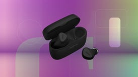
A good pair of earbuds can be a huge upgrade, and these ones aren't just great, but also $60 off.
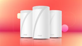
These TP-Link mesh Wi-Fi systems have everything you need to banish bandwidth problems and ditch those dead spots.
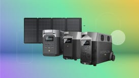
Snag deep discounts on EcoFlow products for a limited time so you can power your devices and appliances wherever you go.
Our deals team is headed to your phone, bringing you something under $50 every day of the week.
Get the tech you want without breaking the bank.
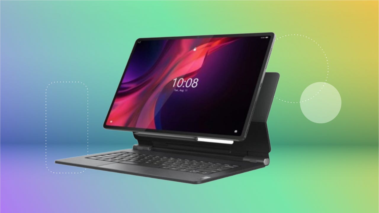
Upgrade your office or school setup on the cheap with the Lenovo Tab Extreme, now $150 off at Best Buy.
Here’re the most recent sales, discounts and deals we could find in one place.